Distance from Prescot to Southport
Distance between Prescot and Southport is 28 kilometers (17 miles).
Driving distance from Prescot to Southport is 37 kilometers (23 miles).
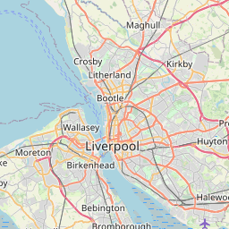
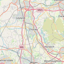
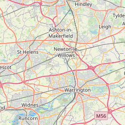
Distance Map Between Prescot and Southport
Prescot, London, United Kingdom ↔ Southport, London, United Kingdom = 17 miles = 28 km.
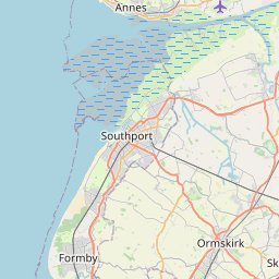


How far is it between Prescot and Southport
Prescot is located in United Kingdom with (53.4295,-2.8003) coordinates and Southport is located in United Kingdom with (53.6478,-3.0065) coordinates. The calculated flying distance from Prescot to Southport is equal to 17 miles which is equal to 28 km.
If you want to go by car, the driving distance between Prescot and Southport is 37.25 km. If you ride your car with an average speed of 112 kilometers/hour (70 miles/h), travel time will be 00 hours 19 minutes. Please check the avg. speed travel time table on the right for various options.
Difference between fly and go by a car is 9 km.
| City/Place | Latitude and Longitude | GPS Coordinates |
|---|---|---|
| Prescot | 53.4295, -2.8003 | 53° 25´ 46.1280'' N 2° 48´ 1.1160'' W |
| Southport | 53.6478, -3.0065 | 53° 38´ 52.0440'' N 3° 0´ 23.3280'' W |
Estimated Travel Time Between Prescot and Southport
| Average Speed | Travel Time |
|---|---|
| 30 mph (48 km/h) | 00 hours 46 minutes |
| 40 mph (64 km/h) | 00 hours 34 minutes |
| 50 mph (80 km/h) | 00 hours 27 minutes |
| 60 mph (97 km/h) | 00 hours 23 minutes |
| 70 mph (112 km/h) | 00 hours 19 minutes |
| 75 mph (120 km/h) | 00 hours 18 minutes |
Related Distances from Prescot
| Cities | Distance |
|---|---|
| Prescot to Stockport | 59 km |
| Prescot to St Helens | 8 km |
| Prescot to Southport | 37 km |
| Prescot to Preston | 54 km |
| Prescot to Stoke On Trent | 84 km |
Related Distances to Southport
| Cities | Distance |
|---|---|
| Liverpool to Southport | 33 km |
| Blackpool to Southport | 55 km |
| Lytham St Annes to Southport | 49 km |
| Manchester to Southport | 70 km |
| Preston to Southport | 30 km |