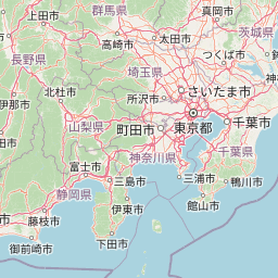
Distance from Maebashi-shi to Saga-shi
Distance between Maebashi-shi and Saga-shi is 872 kilometers (542 miles).
Driving distance from Maebashi-shi to Saga-shi is 1150 kilometers (715 miles).
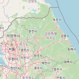
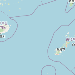
Distance Map Between Maebashi-shi and Saga-shi
Maebashi-shi, Japan ↔ Saga-shi, Japan = 542 miles = 872 km.


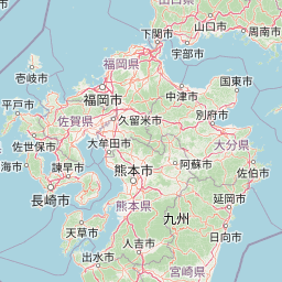


How far is it between Maebashi-shi and Saga-shi
Maebashi-shi is located in Japan with (36.3911,139.0608) coordinates and Saga-shi is located in Japan with (33.2493,130.2988) coordinates. The calculated flying distance from Maebashi-shi to Saga-shi is equal to 542 miles which is equal to 872 km.
If you want to go by car, the driving distance between Maebashi-shi and Saga-shi is 1149.98 km. If you ride your car with an average speed of 112 kilometers/hour (70 miles/h), travel time will be 10 hours 16 minutes. Please check the avg. speed travel time table on the right for various options.
Difference between fly and go by a car is 278 km.
| City/Place | Latitude and Longitude | GPS Coordinates |
|---|---|---|
| Maebashi-shi | 36.3911, 139.0608 | 36° 23´ 27.9960'' N 139° 3´ 38.9880'' E |
| Saga-shi | 33.2493, 130.2988 | 33° 14´ 57.5520'' N 130° 17´ 55.6800'' E |
Estimated Travel Time Between Maebashi-shi and Saga-shi
| Average Speed | Travel Time |
|---|---|
| 30 mph (48 km/h) | 23 hours 57 minutes |
| 40 mph (64 km/h) | 17 hours 58 minutes |
| 50 mph (80 km/h) | 14 hours 22 minutes |
| 60 mph (97 km/h) | 11 hours 51 minutes |
| 70 mph (112 km/h) | 10 hours 16 minutes |
| 75 mph (120 km/h) | 09 hours 34 minutes |
Related Distances from Maebashi-shi
| Cities | Distance |
|---|---|
| Maebashi Shi to Tokyo | 124 km |
| Maebashi Shi to Nagoya Shi | 335 km |
| Maebashi Shi to Toyama Shi | 345 km |
| Maebashi Shi to Osaka Shi | 510 km |
| Maebashi Shi to Yokohama | 162 km |
Related Distances to Saga-shi
| Cities | Distance |
|---|---|
| Kumamoto to Saga Shi | 80 km |
| Nagasaki Shi to Saga Shi | 108 km |
| Fukuoka Shi to Saga Shi | 65 km |
| Kyoto to Saga Shi | 692 km |
| Oita to Saga Shi | 168 km |