Distance from Livermore to Chowchilla
Distance between Livermore and Chowchilla is 147 kilometers (91 miles).
Driving distance from Livermore to Chowchilla is 171 kilometers (106 miles).
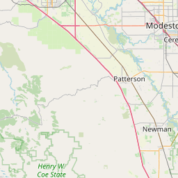
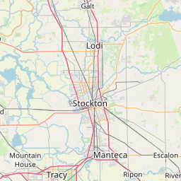
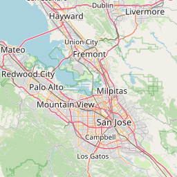
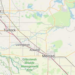
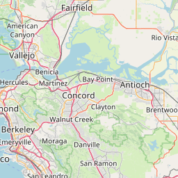
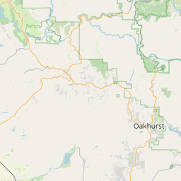
Distance Map Between Livermore and Chowchilla
Livermore, Sacramento, United States ↔ Chowchilla, Sacramento, United States = 91 miles = 147 km.


How far is it between Livermore and Chowchilla
Livermore is located in United States with (37.6819,-121.768) coordinates and Chowchilla is located in United States with (37.123,-120.2602) coordinates. The calculated flying distance from Livermore to Chowchilla is equal to 91 miles which is equal to 147 km.
If you want to go by car, the driving distance between Livermore and Chowchilla is 171.37 km. If you ride your car with an average speed of 112 kilometers/hour (70 miles/h), travel time will be 01 hours 31 minutes. Please check the avg. speed travel time table on the right for various options.
Difference between fly and go by a car is 24 km.
| City/Place | Latitude and Longitude | GPS Coordinates |
|---|---|---|
| Livermore | 37.6819, -121.768 | 37° 40´ 54.7320'' N 121° 46´ 4.8360'' W |
| Chowchilla | 37.123, -120.2602 | 37° 7´ 22.8000'' N 120° 15´ 36.6480'' W |
Estimated Travel Time Between Livermore and Chowchilla
| Average Speed | Travel Time |
|---|---|
| 30 mph (48 km/h) | 03 hours 34 minutes |
| 40 mph (64 km/h) | 02 hours 40 minutes |
| 50 mph (80 km/h) | 02 hours 08 minutes |
| 60 mph (97 km/h) | 01 hours 46 minutes |
| 70 mph (112 km/h) | 01 hours 31 minutes |
| 75 mph (120 km/h) | 01 hours 25 minutes |
Related Distances from Livermore
| Cities | Distance |
|---|---|
| Livermore to Fremont | 31 km |
| Livermore to Hayward | 32 km |
| Livermore to Antioch | 53 km |
| Livermore to Brentwood 2 | 39 km |
| Livermore to Concord | 53 km |
Related Distances to Chowchilla
| Cities | Distance |
|---|---|
| Fresno to Chowchilla | 66 km |
| Visalia to Chowchilla | 130 km |
| San Diego to Chowchilla | 606 km |
| Livermore to Chowchilla | 171 km |
| Modesto to Chowchilla | 92 km |