Distance from Lamphun to Sukhothai
Distance between Lamphun and Sukhothai is 195 kilometers (121 miles).
Driving distance from Lamphun to Sukhothai is 285 kilometers (177 miles).
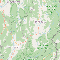
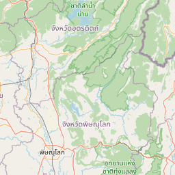
Distance Map Between Lamphun and Sukhothai
Lamphun, Thailand ↔ Sukhothai, Thailand = 121 miles = 195 km.


How far is it between Lamphun and Sukhothai
Lamphun is located in Thailand with (18.5805,99.0075) coordinates and Sukhothai is located in Thailand with (17.0078,99.823) coordinates. The calculated flying distance from Lamphun to Sukhothai is equal to 121 miles which is equal to 195 km.
If you want to go by car, the driving distance between Lamphun and Sukhothai is 285.1 km. If you ride your car with an average speed of 112 kilometers/hour (70 miles/h), travel time will be 02 hours 32 minutes. Please check the avg. speed travel time table on the right for various options.
Difference between fly and go by a car is 90 km.
| City/Place | Latitude and Longitude | GPS Coordinates |
|---|---|---|
| Lamphun | 18.5805, 99.0075 | 18° 34´ 49.9440'' N 99° 0´ 26.8200'' E |
| Sukhothai | 17.0078, 99.823 | 17° 0´ 28.0080'' N 99° 49´ 22.8000'' E |
Estimated Travel Time Between Lamphun and Sukhothai
| Average Speed | Travel Time |
|---|---|
| 30 mph (48 km/h) | 05 hours 56 minutes |
| 40 mph (64 km/h) | 04 hours 27 minutes |
| 50 mph (80 km/h) | 03 hours 33 minutes |
| 60 mph (97 km/h) | 02 hours 56 minutes |
| 70 mph (112 km/h) | 02 hours 32 minutes |
| 75 mph (120 km/h) | 02 hours 22 minutes |
Related Distances from Lamphun
| Cities | Distance |
|---|---|
| Lamphun to Phayao | 181 km |
| Lamphun to Sukhothai | 285 km |
| Lamphun to Phuket | 1504 km |
| Lamphun to Tak | 250 km |
| Lamphun to Ranong | 1242 km |
Related Distances to Sukhothai
| Cities | Distance |
|---|---|
| Bangkok to Sukhothai | 422 km |
| Chiang Mai to Sukhothai | 314 km |
| Phitsanulok to Sukhothai | 58 km |
| Chiang Rai to Sukhothai | 404 km |
| Kanchanaburi to Sukhothai | 431 km |