Distance from Erandol to Pachora
Distance between Erandol and Pachora is 29 kilometers (18 miles).
Driving distance from Erandol to Pachora is 41 kilometers (25 miles).
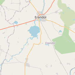
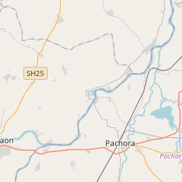
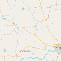
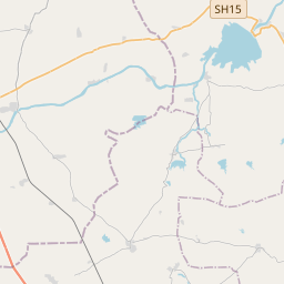
Distance Map Between Erandol and Pachora
Erandol, Mumbai, India ↔ Pachora, Mumbai, India = 18 miles = 29 km.


How far is it between Erandol and Pāchora
Erandol is located in India with (20.9246,75.3286) coordinates and Pachora is located in India with (20.6671,75.3518) coordinates. The calculated flying distance from Erandol to Pachora is equal to 18 miles which is equal to 29 km.
If you want to go by car, the driving distance between Erandol and Pachora is 40.79 km. If you ride your car with an average speed of 112 kilometers/hour (70 miles/h), travel time will be 00 hours 21 minutes. Please check the avg. speed travel time table on the right for various options.
Difference between fly and go by a car is 12 km.
| City/Place | Latitude and Longitude | GPS Coordinates |
|---|---|---|
| Erandol | 20.9246, 75.3286 | 20° 55´ 28.5960'' N 75° 19´ 43.0320'' E |
| Pachora | 20.6671, 75.3518 | 20° 40´ 1.7040'' N 75° 21´ 6.5880'' E |
Estimated Travel Time Between Erandol and Pāchora
| Average Speed | Travel Time |
|---|---|
| 30 mph (48 km/h) | 00 hours 50 minutes |
| 40 mph (64 km/h) | 00 hours 38 minutes |
| 50 mph (80 km/h) | 00 hours 30 minutes |
| 60 mph (97 km/h) | 00 hours 25 minutes |
| 70 mph (112 km/h) | 00 hours 21 minutes |
| 75 mph (120 km/h) | 00 hours 20 minutes |
Related Distances from Erandol
| Cities | Distance |
|---|---|
| Erandol to Jalgaon | 31 km |
| Erandol to Pachora | 41 km |
| Erandol to Nandurbar | 153 km |
| Erandol to Nashik | 218 km |
| Erandol to Pune | 389 km |
Related Distances to Pachora
| Cities | Distance |
|---|---|
| Jalgaon to Pachora | 50 km |
| Malegaon to Pachora | 106 km |
| Amalner to Pachora | 62 km |
| Aurangabad to Pachora | 139 km |
| Dhule to Pachora | 78 km |