Distance from Compton to Chowchilla
Distance between Compton and Chowchilla is 404 kilometers (251 miles).
Driving distance from Compton to Chowchilla is 437 kilometers (271 miles).
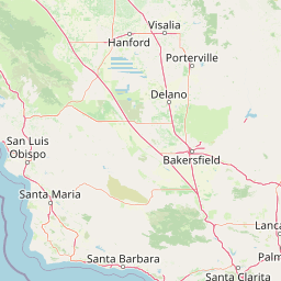
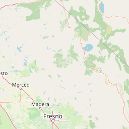
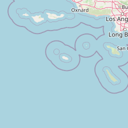
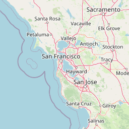
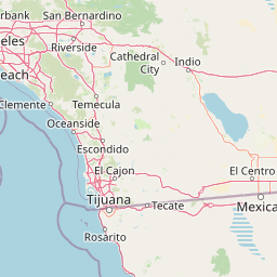
Distance Map Between Compton and Chowchilla
Compton, Sacramento, United States ↔ Chowchilla, Sacramento, United States = 251 miles = 404 km.


How far is it between Compton and Chowchilla
Compton is located in United States with (33.8959,-118.2201) coordinates and Chowchilla is located in United States with (37.123,-120.2602) coordinates. The calculated flying distance from Compton to Chowchilla is equal to 251 miles which is equal to 404 km.
If you want to go by car, the driving distance between Compton and Chowchilla is 436.82 km. If you ride your car with an average speed of 112 kilometers/hour (70 miles/h), travel time will be 03 hours 54 minutes. Please check the avg. speed travel time table on the right for various options.
Difference between fly and go by a car is 33 km.
| City/Place | Latitude and Longitude | GPS Coordinates |
|---|---|---|
| Compton | 33.8959, -118.2201 | 33° 53´ 45.0600'' N 118° 13´ 12.2520'' W |
| Chowchilla | 37.123, -120.2602 | 37° 7´ 22.8000'' N 120° 15´ 36.6480'' W |
Estimated Travel Time Between Compton and Chowchilla
| Average Speed | Travel Time |
|---|---|
| 30 mph (48 km/h) | 09 hours 06 minutes |
| 40 mph (64 km/h) | 06 hours 49 minutes |
| 50 mph (80 km/h) | 05 hours 27 minutes |
| 60 mph (97 km/h) | 04 hours 30 minutes |
| 70 mph (112 km/h) | 03 hours 54 minutes |
| 75 mph (120 km/h) | 03 hours 38 minutes |
Related Distances from Compton
| Cities | Distance |
|---|---|
| Compton to Beverly Hills | 39 km |
| Compton to Carson | 14 km |
| Compton to Anaheim | 33 km |
| Compton to Boyle Heights | 23 km |
| Compton to Chino Hills | 56 km |
Related Distances to Chowchilla
| Cities | Distance |
|---|---|
| Fresno to Chowchilla | 66 km |
| Visalia to Chowchilla | 130 km |
| San Diego to Chowchilla | 606 km |
| Livermore to Chowchilla | 171 km |
| Modesto to Chowchilla | 92 km |