Distance from Chester to Glossop
Distance between Chester and Glossop is 69 kilometers (43 miles).
Driving distance from Chester to Glossop is 83 kilometers (52 miles).
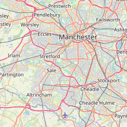
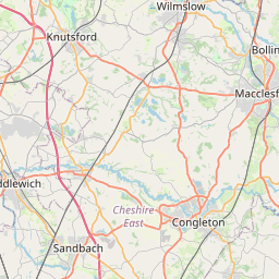
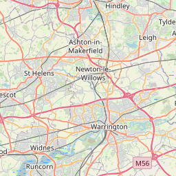
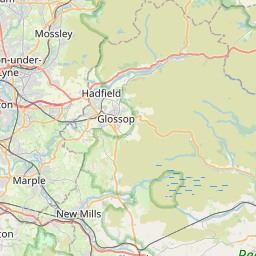
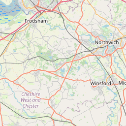
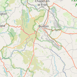
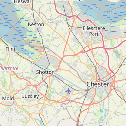
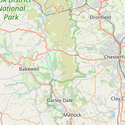
Distance Map Between Chester and Glossop
Chester, London, United Kingdom ↔ Glossop, London, United Kingdom = 43 miles = 69 km.

How far is it between Chester and Glossop
Chester is located in United Kingdom with (53.1905,-2.8919) coordinates and Glossop is located in United Kingdom with (53.4433,-1.949) coordinates. The calculated flying distance from Chester to Glossop is equal to 43 miles which is equal to 69 km.
If you want to go by car, the driving distance between Chester and Glossop is 83.37 km. If you ride your car with an average speed of 112 kilometers/hour (70 miles/h), travel time will be 00 hours 44 minutes. Please check the avg. speed travel time table on the right for various options.
Difference between fly and go by a car is 14 km.
| City/Place | Latitude and Longitude | GPS Coordinates |
|---|---|---|
| Chester | 53.1905, -2.8919 | 53° 11´ 25.8000'' N 2° 53´ 30.8040'' W |
| Glossop | 53.4433, -1.949 | 53° 26´ 35.7000'' N 1° 56´ 56.4000'' W |
Estimated Travel Time Between Chester and Glossop
| Average Speed | Travel Time |
|---|---|
| 30 mph (48 km/h) | 01 hours 44 minutes |
| 40 mph (64 km/h) | 01 hours 18 minutes |
| 50 mph (80 km/h) | 01 hours 02 minutes |
| 60 mph (97 km/h) | 00 hours 51 minutes |
| 70 mph (112 km/h) | 00 hours 44 minutes |
| 75 mph (120 km/h) | 00 hours 41 minutes |
Related Distances from Chester
| Cities | Distance |
|---|---|
| Chester to Manchester | 67 km |
| Chester to Liverpool | 45 km |
| Chester to London | 326 km |
| Chester to Halifax 2 | 115 km |
| Chester to Chesterfield | 127 km |
Related Distances to Glossop
| Cities | Distance |
|---|---|
| Derby to Glossop | 79 km |
| Birmingham to Glossop | 159 km |
| Bolton to Glossop | 48 km |
| Chester to Glossop | 83 km |
| Blackburn to Glossop | 64 km |