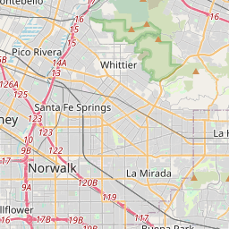
Distance from Whittier to Cypress
Distance between Whittier and Cypress is 18 kilometers (11 miles).
Driving distance from Whittier to Cypress is 19 kilometers (12 miles).
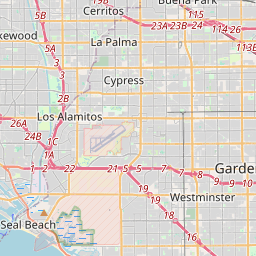
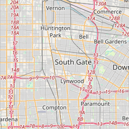
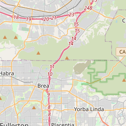
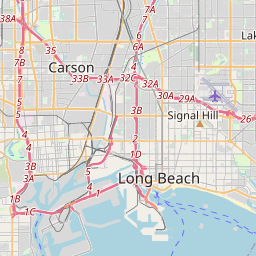
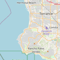
Distance Map Between Whittier and Cypress
Whittier, Sacramento, United States ↔ Cypress, Sacramento, United States = 11 miles = 18 km.

How far is it between Whittier and Cypress
Whittier is located in United States with (33.9792,-118.0328) coordinates and Cypress is located in United States with (33.817,-118.0373) coordinates. The calculated flying distance from Whittier to Cypress is equal to 11 miles which is equal to 18 km.
If you want to go by car, the driving distance between Whittier and Cypress is 19.31 km. If you ride your car with an average speed of 112 kilometers/hour (70 miles/h), travel time will be 00 hours 10 minutes. Please check the avg. speed travel time table on the right for various options.
Difference between fly and go by a car is 1 km.
| City/Place | Latitude and Longitude | GPS Coordinates |
|---|---|---|
| Whittier | 33.9792, -118.0328 | 33° 58´ 45.0480'' N 118° 1´ 58.2240'' W |
| Cypress | 33.817, -118.0373 | 33° 49´ 1.0560'' N 118° 2´ 14.2440'' W |
Estimated Travel Time Between Whittier and Cypress
| Average Speed | Travel Time |
|---|---|
| 30 mph (48 km/h) | 00 hours 24 minutes |
| 40 mph (64 km/h) | 00 hours 18 minutes |
| 50 mph (80 km/h) | 00 hours 14 minutes |
| 60 mph (97 km/h) | 00 hours 11 minutes |
| 70 mph (112 km/h) | 00 hours 10 minutes |
| 75 mph (120 km/h) | 00 hours 09 minutes |
Related Distances from Whittier
| Cities | Distance |
|---|---|
| Whittier to Los Angeles | 33 km |
| Whittier to Huntington Beach | 50 km |
| Whittier to Pasadena 2 | 41 km |
| Whittier to Riverside | 75 km |
| Whittier to Garden Grove | 29 km |
Related Distances to Cypress
| Cities | Distance |
|---|---|
| Los Angeles to Cypress | 40 km |
| The Woodlands to Cypress 2 | 67 km |
| Sugar Land to Cypress 2 | 53 km |
| Houston to Cypress 2 | 45 km |
| Texas City to Cypress 2 | 116 km |