Distance from South Gate to Nipomo
Distance between South Gate and Nipomo is 240 kilometers (149 miles).
Driving distance from South Gate to Nipomo is 285 kilometers (177 miles).
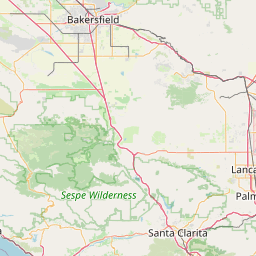
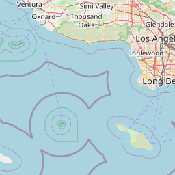
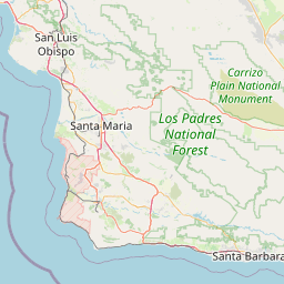
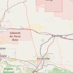
Distance Map Between South Gate and Nipomo
South Gate, Sacramento, United States ↔ Nipomo, Sacramento, United States = 149 miles = 240 km.


How far is it between South Gate and Nipomo
South Gate is located in United States with (33.9547,-118.212) coordinates and Nipomo is located in United States with (35.0428,-120.476) coordinates. The calculated flying distance from South Gate to Nipomo is equal to 149 miles which is equal to 240 km.
If you want to go by car, the driving distance between South Gate and Nipomo is 284.51 km. If you ride your car with an average speed of 112 kilometers/hour (70 miles/h), travel time will be 02 hours 32 minutes. Please check the avg. speed travel time table on the right for various options.
Difference between fly and go by a car is 45 km.
| City/Place | Latitude and Longitude | GPS Coordinates |
|---|---|---|
| South Gate | 33.9547, -118.212 | 33° 57´ 17.0640'' N 118° 12´ 43.2720'' W |
| Nipomo | 35.0428, -120.476 | 35° 2´ 33.9000'' N 120° 28´ 33.6000'' W |
Estimated Travel Time Between South Gate and Nipomo
| Average Speed | Travel Time |
|---|---|
| 30 mph (48 km/h) | 05 hours 55 minutes |
| 40 mph (64 km/h) | 04 hours 26 minutes |
| 50 mph (80 km/h) | 03 hours 33 minutes |
| 60 mph (97 km/h) | 02 hours 55 minutes |
| 70 mph (112 km/h) | 02 hours 32 minutes |
| 75 mph (120 km/h) | 02 hours 22 minutes |
Related Distances from South Gate
| Cities | Distance |
|---|---|
| South Gate to Paramount | 14 km |
| South Gate to Orange | 47 km |
| South Gate to Bellflower | 16 km |
| South Gate to Carson | 21 km |
| South Gate to Downey | 8 km |
Related Distances to Nipomo
| Cities | Distance |
|---|---|
| Santa Barbara to Nipomo | 115 km |
| Santa Maria 2 to Nipomo | 12 km |
| Salinas to Nipomo | 242 km |
| San Diego to Nipomo | 465 km |
| Visalia to Nipomo | 257 km |