Distance from Schertz to Rosenberg
Distance between Schertz and Rosenberg is 238 kilometers (148 miles).
Driving distance from Schertz to Rosenberg is 260 kilometers (162 miles).
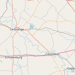
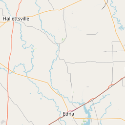
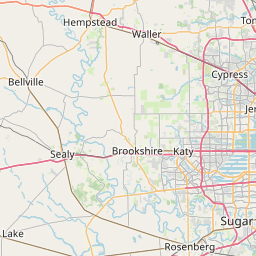
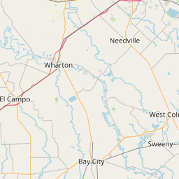
Distance Map Between Schertz and Rosenberg
Schertz, Austin, United States ↔ Rosenberg, Austin, United States = 148 miles = 238 km.


How far is it between Schertz and Rosenberg
Schertz is located in United States with (29.5522,-98.2697) coordinates and Rosenberg is located in United States with (29.5572,-95.8086) coordinates. The calculated flying distance from Schertz to Rosenberg is equal to 148 miles which is equal to 238 km.
If you want to go by car, the driving distance between Schertz and Rosenberg is 260.48 km. If you ride your car with an average speed of 112 kilometers/hour (70 miles/h), travel time will be 02 hours 19 minutes. Please check the avg. speed travel time table on the right for various options.
Difference between fly and go by a car is 22 km.
| City/Place | Latitude and Longitude | GPS Coordinates |
|---|---|---|
| Schertz | 29.5522, -98.2697 | 29° 33´ 7.8120'' N 98° 16´ 11.0280'' W |
| Rosenberg | 29.5572, -95.8086 | 29° 33´ 25.8480'' N 95° 48´ 30.8160'' W |
Estimated Travel Time Between Schertz and Rosenberg
| Average Speed | Travel Time |
|---|---|
| 30 mph (48 km/h) | 05 hours 25 minutes |
| 40 mph (64 km/h) | 04 hours 04 minutes |
| 50 mph (80 km/h) | 03 hours 15 minutes |
| 60 mph (97 km/h) | 02 hours 41 minutes |
| 70 mph (112 km/h) | 02 hours 19 minutes |
| 75 mph (120 km/h) | 02 hours 10 minutes |
Related Distances from Schertz
| Cities | Distance |
|---|---|
| Schertz to San Antonio | 35 km |
| Schertz to New Braunfels | 28 km |
| Schertz to San Marcos 3 | 56 km |
| Schertz to Dallas | 418 km |
| Schertz to Houston | 295 km |
Related Distances to Rosenberg
| Cities | Distance |
|---|---|
| Texas City to Rosenberg | 108 km |
| Sugar Land to Rosenberg | 29 km |
| Bay City 2 to Rosenberg | 82 km |
| San Antonio to Rosenberg | 283 km |
| Spring to Rosenberg | 94 km |