Distance from Ridgecrest to Compton
Distance between Ridgecrest and Compton is 198 kilometers (123 miles).
Driving distance from Ridgecrest to Compton is 271 kilometers (168 miles).
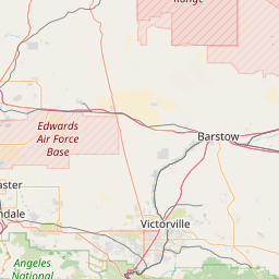
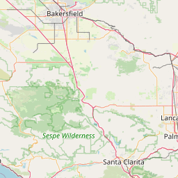
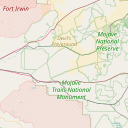
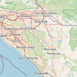
Distance Map Between Ridgecrest and Compton
Ridgecrest, Sacramento, United States ↔ Compton, Sacramento, United States = 123 miles = 198 km.


How far is it between Ridgecrest and Compton
Ridgecrest is located in United States with (35.6225,-117.6709) coordinates and Compton is located in United States with (33.8959,-118.2201) coordinates. The calculated flying distance from Ridgecrest to Compton is equal to 123 miles which is equal to 198 km.
If you want to go by car, the driving distance between Ridgecrest and Compton is 270.5 km. If you ride your car with an average speed of 112 kilometers/hour (70 miles/h), travel time will be 02 hours 24 minutes. Please check the avg. speed travel time table on the right for various options.
Difference between fly and go by a car is 73 km.
| City/Place | Latitude and Longitude | GPS Coordinates |
|---|---|---|
| Ridgecrest | 35.6225, -117.6709 | 35° 37´ 20.8560'' N 117° 40´ 15.2400'' W |
| Compton | 33.8959, -118.2201 | 33° 53´ 45.0600'' N 118° 13´ 12.2520'' W |
Estimated Travel Time Between Ridgecrest and Compton
| Average Speed | Travel Time |
|---|---|
| 30 mph (48 km/h) | 05 hours 38 minutes |
| 40 mph (64 km/h) | 04 hours 13 minutes |
| 50 mph (80 km/h) | 03 hours 22 minutes |
| 60 mph (97 km/h) | 02 hours 47 minutes |
| 70 mph (112 km/h) | 02 hours 24 minutes |
| 75 mph (120 km/h) | 02 hours 15 minutes |
Related Distances from Ridgecrest
| Cities | Distance |
|---|---|
| Ridgecrest to Bakersfield | 180 km |
| Ridgecrest to Los Angeles | 248 km |
| Ridgecrest to Lancaster | 135 km |
| Ridgecrest to Palmdale | 149 km |
| Ridgecrest to Irvine | 261 km |
Related Distances to Compton
| Cities | Distance |
|---|---|
| Long Beach to Compton | 19 km |
| Oakland to Compton | 625 km |
| Inglewood to Compton | 19 km |
| Paramount to Compton | 6 km |
| Los Angeles to Compton | 28 km |