Distance from Nong Bua Lamphu to Trat
Distance between Nong Bua Lamphu and Trat is 552 kilometers (343 miles).
Driving distance from Nong Bua Lamphu to Trat is 695 kilometers (432 miles).
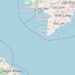
Distance Map Between Nong Bua Lamphu and Trat
Nong Bua Lamphu, Thailand ↔ Trat, Thailand = 343 miles = 552 km.


How far is it between Nong Bua Lamphu and Trat
Nong Bua Lamphu is located in Thailand with (17.2041,102.4407) coordinates and Trat is located in Thailand with (12.2436,102.5151) coordinates. The calculated flying distance from Nong Bua Lamphu to Trat is equal to 343 miles which is equal to 552 km.
If you want to go by car, the driving distance between Nong Bua Lamphu and Trat is 695.48 km. If you ride your car with an average speed of 112 kilometers/hour (70 miles/h), travel time will be 06 hours 12 minutes. Please check the avg. speed travel time table on the right for various options.
Difference between fly and go by a car is 143 km.
| City/Place | Latitude and Longitude | GPS Coordinates |
|---|---|---|
| Nong Bua Lamphu | 17.2041, 102.4407 | 17° 12´ 14.6160'' N 102° 26´ 26.4480'' E |
| Trat | 12.2436, 102.5151 | 12° 14´ 37.1040'' N 102° 30´ 54.5040'' E |
Estimated Travel Time Between Nong Bua Lamphu and Trat
| Average Speed | Travel Time |
|---|---|
| 30 mph (48 km/h) | 14 hours 29 minutes |
| 40 mph (64 km/h) | 10 hours 52 minutes |
| 50 mph (80 km/h) | 08 hours 41 minutes |
| 60 mph (97 km/h) | 07 hours 10 minutes |
| 70 mph (112 km/h) | 06 hours 12 minutes |
| 75 mph (120 km/h) | 05 hours 47 minutes |
Related Distances from Nong Bua Lamphu
| Cities | Distance |
|---|---|
| Nong Bua Lamphu to Chiang Mai | 569 km |
| Nong Bua Lamphu to Udon Thani | 48 km |
| Nong Bua Lamphu to Na Klang | 30 km |
| Nong Bua Lamphu to Chiang Rai | 642 km |
| Nong Bua Lamphu to Sukhothai | 369 km |
Related Distances to Trat
| Cities | Distance |
|---|---|
| Bangkok to Trat | 320 km |
| Rayong to Trat | 182 km |
| Chanthaburi to Trat | 69 km |
| Buriram to Trat | 394 km |
| Sa Kaeo to Trat | 212 km |