Distance from Nong Bua Lamphu to Thap Than
Distance between Nong Bua Lamphu and Thap Than is 334 kilometers (208 miles).
Driving distance from Nong Bua Lamphu to Thap Than is 478 kilometers (297 miles).
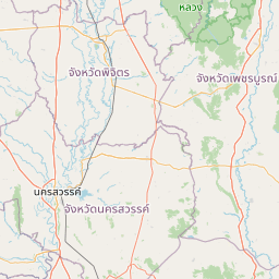
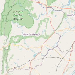
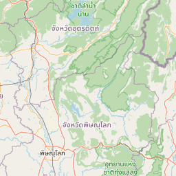
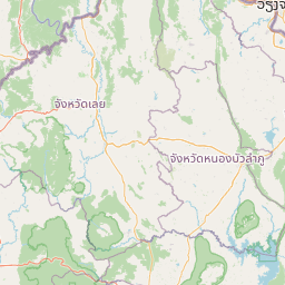
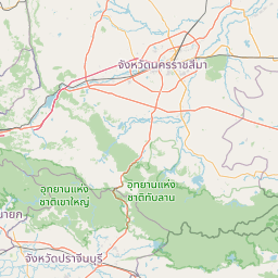
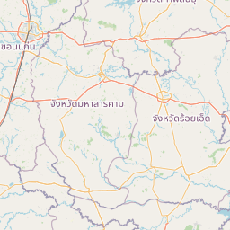
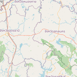
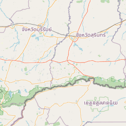
Distance Map Between Nong Bua Lamphu and Thap Than
Nong Bua Lamphu, Thailand ↔ Thap Than, Uthai Thani, Thailand = 208 miles = 334 km.


How far is it between Nong Bua Lamphu and Thap Than
Nong Bua Lamphu is located in Thailand with (17.2041,102.4407) coordinates and Thap Than is located in Thailand with (15.4606,99.8917) coordinates. The calculated flying distance from Nong Bua Lamphu to Thap Than is equal to 208 miles which is equal to 334 km.
If you want to go by car, the driving distance between Nong Bua Lamphu and Thap Than is 477.86 km. If you ride your car with an average speed of 112 kilometers/hour (70 miles/h), travel time will be 04 hours 15 minutes. Please check the avg. speed travel time table on the right for various options.
Difference between fly and go by a car is 144 km.
| City/Place | Latitude and Longitude | GPS Coordinates |
|---|---|---|
| Nong Bua Lamphu | 17.2041, 102.4407 | 17° 12´ 14.6160'' N 102° 26´ 26.4480'' E |
| Thap Than | 15.4606, 99.8917 | 15° 27´ 38.2680'' N 99° 53´ 29.9760'' E |
Estimated Travel Time Between Nong Bua Lamphu and Thap Than
| Average Speed | Travel Time |
|---|---|
| 30 mph (48 km/h) | 09 hours 57 minutes |
| 40 mph (64 km/h) | 07 hours 27 minutes |
| 50 mph (80 km/h) | 05 hours 58 minutes |
| 60 mph (97 km/h) | 04 hours 55 minutes |
| 70 mph (112 km/h) | 04 hours 15 minutes |
| 75 mph (120 km/h) | 03 hours 58 minutes |
Related Distances from Nong Bua Lamphu
| Cities | Distance |
|---|---|
| Nong Bua Lamphu to Chiang Mai | 569 km |
| Nong Bua Lamphu to Udon Thani | 48 km |
| Nong Bua Lamphu to Na Klang | 30 km |
| Nong Bua Lamphu to Chiang Rai | 642 km |
| Nong Bua Lamphu to Sukhothai | 369 km |
Related Distances to Thap Than
| Cities | Distance |
|---|---|
| Bangkok to Thap Than | 238 km |
| Pathum Thani to Thap Than | 209 km |
| Nong Khai to Thap Than | 577 km |
| Phrae to Thap Than | 356 km |
| Buriram to Thap Than | 430 km |