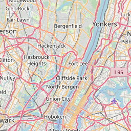
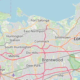
Distance from Nanuet to Hauppauge
Distance between Nanuet and Hauppauge is 74 kilometers (46 miles).
Driving distance from Nanuet to Hauppauge is 107 kilometers (66 miles).
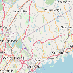
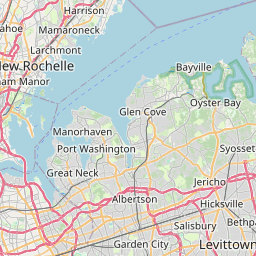
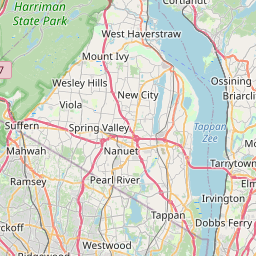
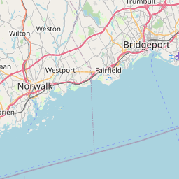
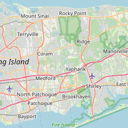
Distance Map Between Nanuet and Hauppauge
Nanuet, Albany, United States ↔ Hauppauge, Albany, United States = 46 miles = 74 km.

How far is it between Nanuet and Hauppauge
Nanuet is located in United States with (41.0887,-74.0135) coordinates and Hauppauge is located in United States with (40.8257,-73.2026) coordinates. The calculated flying distance from Nanuet to Hauppauge is equal to 46 miles which is equal to 74 km.
If you want to go by car, the driving distance between Nanuet and Hauppauge is 106.55 km. If you ride your car with an average speed of 112 kilometers/hour (70 miles/h), travel time will be 00 hours 57 minutes. Please check the avg. speed travel time table on the right for various options.
Difference between fly and go by a car is 33 km.
| City/Place | Latitude and Longitude | GPS Coordinates |
|---|---|---|
| Nanuet | 41.0887, -74.0135 | 41° 5´ 19.3560'' N 74° 0´ 48.4920'' W |
| Hauppauge | 40.8257, -73.2026 | 40° 49´ 32.3400'' N 73° 12´ 9.3960'' W |
Estimated Travel Time Between Nanuet and Hauppauge
| Average Speed | Travel Time |
|---|---|
| 30 mph (48 km/h) | 02 hours 13 minutes |
| 40 mph (64 km/h) | 01 hours 39 minutes |
| 50 mph (80 km/h) | 01 hours 19 minutes |
| 60 mph (97 km/h) | 01 hours 05 minutes |
| 70 mph (112 km/h) | 00 hours 57 minutes |
| 75 mph (120 km/h) | 00 hours 53 minutes |
Related Distances from Nanuet
| Cities | Distance |
|---|---|
| Nanuet to Manhattan | 43 km |
| Nanuet to Brooklyn | 66 km |
| Nanuet to The Bronx | 47 km |
| Nanuet to East New York | 67 km |
| Nanuet to Central Islip | 106 km |
Related Distances to Hauppauge
| Cities | Distance |
|---|---|
| Huntington 2 to Hauppauge | 24 km |
| New York City to Hauppauge | 78 km |
| Melville to Hauppauge | 21 km |
| Ronkonkoma to Hauppauge | 9 km |
| Holbrook to Hauppauge | 12 km |