Distance from Merced to Clovis
Distance between Merced and Clovis is 87 kilometers (54 miles).
Driving distance from Merced to Clovis is 104 kilometers (64 miles).
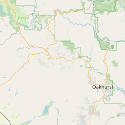
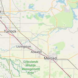
Distance Map Between Merced and Clovis
Merced, Sacramento, United States ↔ Clovis, Sacramento, United States = 54 miles = 87 km.


How far is it between Merced and Clovis
Merced is located in United States with (37.3022,-120.483) coordinates and Clovis is located in United States with (36.8252,-119.7029) coordinates. The calculated flying distance from Merced to Clovis is equal to 54 miles which is equal to 87 km.
If you want to go by car, the driving distance between Merced and Clovis is 103.53 km. If you ride your car with an average speed of 112 kilometers/hour (70 miles/h), travel time will be 00 hours 55 minutes. Please check the avg. speed travel time table on the right for various options.
Difference between fly and go by a car is 17 km.
| City/Place | Latitude and Longitude | GPS Coordinates |
|---|---|---|
| Merced | 37.3022, -120.483 | 37° 18´ 7.7760'' N 120° 28´ 58.6920'' W |
| Clovis | 36.8252, -119.7029 | 36° 49´ 30.8280'' N 119° 42´ 10.5120'' W |
Estimated Travel Time Between Merced and Clovis
| Average Speed | Travel Time |
|---|---|
| 30 mph (48 km/h) | 02 hours 09 minutes |
| 40 mph (64 km/h) | 01 hours 37 minutes |
| 50 mph (80 km/h) | 01 hours 17 minutes |
| 60 mph (97 km/h) | 01 hours 04 minutes |
| 70 mph (112 km/h) | 00 hours 55 minutes |
| 75 mph (120 km/h) | 00 hours 51 minutes |
Related Distances from Merced
| Cities | Distance |
|---|---|
| Merced to Bakersfield | 263 km |
| Merced to Los Angeles | 442 km |
| Merced to Fresno | 93 km |
| Merced to Anaheim | 481 km |
| Merced to Berkeley | 199 km |
Related Distances to Clovis
| Cities | Distance |
|---|---|
| Fresno to Clovis | 14 km |
| Albuquerque to Clovis 2 | 357 km |
| Hobbs to Clovis 2 | 205 km |
| Roswell 2 to Clovis 2 | 178 km |
| Modesto to Clovis | 166 km |