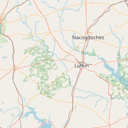
Distance from Lufkin to Cleburne
Distance between Lufkin and Cleburne is 275 kilometers (171 miles).
Driving distance from Lufkin to Cleburne is 312 kilometers (194 miles).
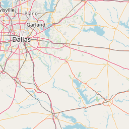
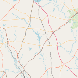
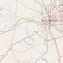
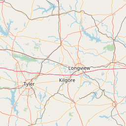
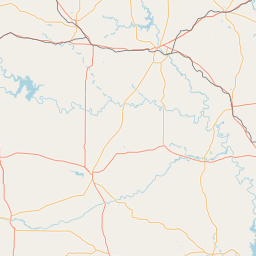
Distance Map Between Lufkin and Cleburne
Lufkin, Austin, United States ↔ Cleburne, Austin, United States = 171 miles = 275 km.

How far is it between Lufkin and Cleburne
Lufkin is located in United States with (31.3382,-94.7291) coordinates and Cleburne is located in United States with (32.3476,-97.3867) coordinates. The calculated flying distance from Lufkin to Cleburne is equal to 171 miles which is equal to 275 km.
If you want to go by car, the driving distance between Lufkin and Cleburne is 311.7 km. If you ride your car with an average speed of 112 kilometers/hour (70 miles/h), travel time will be 02 hours 46 minutes. Please check the avg. speed travel time table on the right for various options.
Difference between fly and go by a car is 37 km.
| City/Place | Latitude and Longitude | GPS Coordinates |
|---|---|---|
| Lufkin | 31.3382, -94.7291 | 31° 20´ 17.6640'' N 94° 43´ 44.7600'' W |
| Cleburne | 32.3476, -97.3867 | 32° 20´ 51.5040'' N 97° 23´ 12.0480'' W |
Estimated Travel Time Between Lufkin and Cleburne
| Average Speed | Travel Time |
|---|---|
| 30 mph (48 km/h) | 06 hours 29 minutes |
| 40 mph (64 km/h) | 04 hours 52 minutes |
| 50 mph (80 km/h) | 03 hours 53 minutes |
| 60 mph (97 km/h) | 03 hours 12 minutes |
| 70 mph (112 km/h) | 02 hours 46 minutes |
| 75 mph (120 km/h) | 02 hours 35 minutes |
Related Distances from Lufkin
| Cities | Distance |
|---|---|
| Lufkin to Houston | 195 km |
| Lufkin to Dallas | 274 km |
| Lufkin to Galveston | 272 km |
| Lufkin to Longview | 145 km |
| Lufkin to Beaumont | 173 km |
Related Distances to Cleburne
| Cities | Distance |
|---|---|
| Dallas to Cleburne | 81 km |
| Fort Worth to Cleburne | 49 km |
| Waxahachie to Cleburne | 60 km |
| Mansfield 2 to Cleburne | 39 km |
| Waco to Cleburne | 101 km |