Distance from Kaarst to Spenge
Distance between Kaarst and Spenge is 164 kilometers (102 miles).
Driving distance from Kaarst to Spenge is 210 kilometers (131 miles).
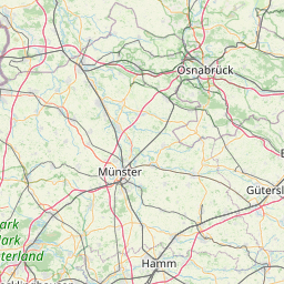
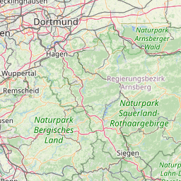
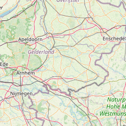
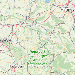
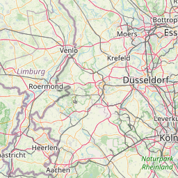
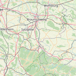
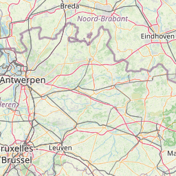
Distance Map Between Kaarst and Spenge
Kaarst, Dusseldorf, Germany ↔ Spenge, Dusseldorf, Germany = 102 miles = 164 km.


How far is it between Kaarst and Spenge
Kaarst is located in Germany with (51.2293,6.6188) coordinates and Spenge is located in Germany with (52.1402,8.4848) coordinates. The calculated flying distance from Kaarst to Spenge is equal to 102 miles which is equal to 164 km.
If you want to go by car, the driving distance between Kaarst and Spenge is 210.4 km. If you ride your car with an average speed of 112 kilometers/hour (70 miles/h), travel time will be 01 hours 52 minutes. Please check the avg. speed travel time table on the right for various options.
Difference between fly and go by a car is 46 km.
| City/Place | Latitude and Longitude | GPS Coordinates |
|---|---|---|
| Kaarst | 51.2293, 6.6188 | 51° 13´ 45.4440'' N 6° 37´ 7.7880'' E |
| Spenge | 52.1402, 8.4848 | 52° 8´ 24.7560'' N 8° 29´ 5.1000'' E |
Estimated Travel Time Between Kaarst and Spenge
| Average Speed | Travel Time |
|---|---|
| 30 mph (48 km/h) | 04 hours 23 minutes |
| 40 mph (64 km/h) | 03 hours 17 minutes |
| 50 mph (80 km/h) | 02 hours 37 minutes |
| 60 mph (97 km/h) | 02 hours 10 minutes |
| 70 mph (112 km/h) | 01 hours 52 minutes |
| 75 mph (120 km/h) | 01 hours 45 minutes |
Related Distances from Kaarst
| Cities | Distance |
|---|---|
| Kaarst to Voerde | 59 km |
| Kaarst to Meckenheim | 91 km |
| Kaarst to Monchengladbach | 21 km |
| Kaarst to Neuss | 9 km |
| Kaarst to Kamp Lintfort | 37 km |
Related Distances to Spenge
| Cities | Distance |
|---|---|
| Bielefeld to Spenge | 14 km |
| Oberhausen to Spenge | 167 km |
| Ratingen to Spenge | 188 km |
| Bocholt to Spenge | 186 km |
| Hurth to Spenge | 219 km |