Distance from Itapeva to Tupa
Distance between Itapeva and Tupa is 283 kilometers (176 miles).
Driving distance from Itapeva to Tupa is 376 kilometers (233 miles).
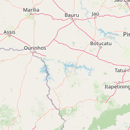
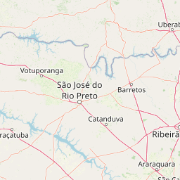
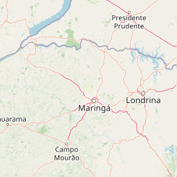
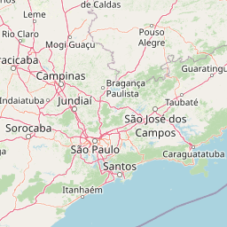
Distance Map Between Itapeva and Tupa
Itapeva, Sao Paulo, Brazil ↔ Tupa, Sao Paulo, Brazil = 176 miles = 283 km.


How far is it between Itapeva and Tupã
Itapeva is located in Brazil with (-23.9822,-48.8756) coordinates and Tupa is located in Brazil with (-21.9347,-50.5136) coordinates. The calculated flying distance from Itapeva to Tupa is equal to 176 miles which is equal to 283 km.
If you want to go by car, the driving distance between Itapeva and Tupa is 375.56 km. If you ride your car with an average speed of 112 kilometers/hour (70 miles/h), travel time will be 03 hours 21 minutes. Please check the avg. speed travel time table on the right for various options.
Difference between fly and go by a car is 93 km.
| City/Place | Latitude and Longitude | GPS Coordinates |
|---|---|---|
| Itapeva | -23.9822, -48.8756 | 23° 58´ 55.9920'' S 48° 52´ 32.0160'' W |
| Tupa | -21.9347, -50.5136 | 21° 56´ 4.9920'' S 50° 30´ 48.9960'' W |
Estimated Travel Time Between Itapeva and Tupã
| Average Speed | Travel Time |
|---|---|
| 30 mph (48 km/h) | 07 hours 49 minutes |
| 40 mph (64 km/h) | 05 hours 52 minutes |
| 50 mph (80 km/h) | 04 hours 41 minutes |
| 60 mph (97 km/h) | 03 hours 52 minutes |
| 70 mph (112 km/h) | 03 hours 21 minutes |
| 75 mph (120 km/h) | 03 hours 07 minutes |
Related Distances from Itapeva
| Cities | Distance |
|---|---|
| Itapeva to Jaboticabal | 397 km |
| Itapeva to Santos | 373 km |
| Itapeva to Sao Carlos | 336 km |
| Itapeva to Laranjal Paulista | 210 km |
| Itapeva to Piracicaba | 239 km |
Related Distances to Tupa
| Cities | Distance |
|---|---|
| Ituiutaba to Tupaciguara | 142 km |
| Dom Pedrito to Tupancireta | 370 km |
| Sao Borja to Tupancireta | 323 km |
| Indaiatuba to Tupa | 483 km |
| Palmeira Das Missoes to Tupancireta | 163 km |