Distance from Hopatcong Hills to Maple Shade
Distance between Hopatcong Hills and Maple Shade is 114 kilometers (71 miles).
Driving distance from Hopatcong Hills to Maple Shade is 180 kilometers (112 miles).
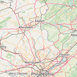
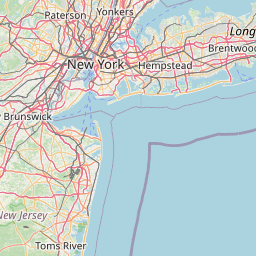
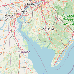
Distance Map Between Hopatcong Hills and Maple Shade
Hopatcong Hills, Trenton, United States ↔ Maple Shade, Trenton, United States = 71 miles = 114 km.
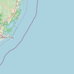


How far is it between Hopatcong Hills and Maple Shade
Hopatcong Hills is located in United States with (40.944,-74.6707) coordinates and Maple Shade is located in United States with (39.9526,-74.9924) coordinates. The calculated flying distance from Hopatcong Hills to Maple Shade is equal to 71 miles which is equal to 114 km.
If you want to go by car, the driving distance between Hopatcong Hills and Maple Shade is 179.73 km. If you ride your car with an average speed of 112 kilometers/hour (70 miles/h), travel time will be 01 hours 36 minutes. Please check the avg. speed travel time table on the right for various options.
Difference between fly and go by a car is 66 km.
| City/Place | Latitude and Longitude | GPS Coordinates |
|---|---|---|
| Hopatcong Hills | 40.944, -74.6707 | 40° 56´ 38.3640'' N 74° 40´ 14.5920'' W |
| Maple Shade | 39.9526, -74.9924 | 39° 57´ 9.3960'' N 74° 59´ 32.6040'' W |
Estimated Travel Time Between Hopatcong Hills and Maple Shade
| Average Speed | Travel Time |
|---|---|
| 30 mph (48 km/h) | 03 hours 44 minutes |
| 40 mph (64 km/h) | 02 hours 48 minutes |
| 50 mph (80 km/h) | 02 hours 14 minutes |
| 60 mph (97 km/h) | 01 hours 51 minutes |
| 70 mph (112 km/h) | 01 hours 36 minutes |
| 75 mph (120 km/h) | 01 hours 29 minutes |
Related Distances from Hopatcong Hills
| Cities | Distance |
|---|---|
| Hopatcong Hills to Bayonne | 76 km |
| Hopatcong Hills to Fair Lawn | 63 km |
| Hopatcong Hills to Hackensack | 71 km |
| Hopatcong Hills to Bloomfield | 62 km |
| Hopatcong Hills to Hoboken | 76 km |
Related Distances to Maple Shade
| Cities | Distance |
|---|---|
| Edison to Maple Shade | 91 km |
| Vineland to Maple Shade | 72 km |
| Willingboro to Maple Shade | 20 km |
| Toms River to Maple Shade | 76 km |
| Paramus to Maple Shade | 154 km |