Distance from Gerede to Bitlis
Distance between Gerede and Bitlis is 889 kilometers (553 miles).
Driving distance from Gerede to Bitlis is 1347 kilometers (837 miles).
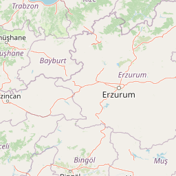
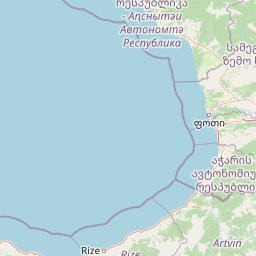
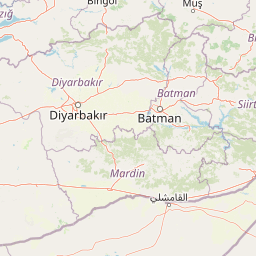
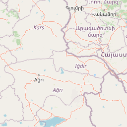
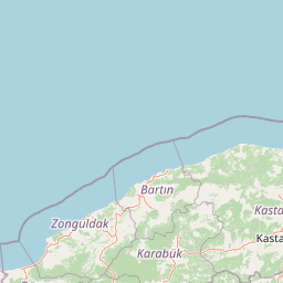
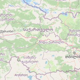
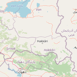
Distance Map Between Gerede and Bitlis
Gerede, Bolu, Turkey ↔ Bitlis, Turkey = 553 miles = 889 km.


How far is it between Gerede and Bitlis
Gerede is located in Turkey with (40.8008,32.1969) coordinates and Bitlis is located in Turkey with (38.4012,42.1078) coordinates. The calculated flying distance from Gerede to Bitlis is equal to 553 miles which is equal to 889 km.
If you want to go by car, the driving distance between Gerede and Bitlis is 1346.93 km. If you ride your car with an average speed of 112 kilometers/hour (70 miles/h), travel time will be 12 hours 01 minutes. Please check the avg. speed travel time table on the right for various options.
Difference between fly and go by a car is 458 km.
| City/Place | Latitude and Longitude | GPS Coordinates |
|---|---|---|
| Gerede | 40.8008, 32.1969 | 40° 48´ 2.9880'' N 32° 11´ 48.9840'' E |
| Bitlis | 38.4012, 42.1078 | 38° 24´ 4.1400'' N 42° 6´ 28.2240'' E |
Estimated Travel Time Between Gerede and Bitlis
| Average Speed | Travel Time |
|---|---|
| 30 mph (48 km/h) | 28 hours 03 minutes |
| 40 mph (64 km/h) | 21 hours 02 minutes |
| 50 mph (80 km/h) | 16 hours 50 minutes |
| 60 mph (97 km/h) | 13 hours 53 minutes |
| 70 mph (112 km/h) | 12 hours 01 minutes |
| 75 mph (120 km/h) | 11 hours 13 minutes |
Related Distances from Gerede
| Cities | Distance |
|---|---|
| Gerede to Istanbul | 323 km |
| Gerede to Ankara | 148 km |
| Gerede to Izmir | 667 km |
| Gerede to Trabzon | 744 km |
| Gerede to Mercin | 643 km |
Related Distances to Bitlis
| Cities | Distance |
|---|---|
| Istanbul to Bitlis | 1657 km |
| Ankara to Bitlis | 1205 km |
| Antalya to Bitlis | 1329 km |
| Aksaray to Bitlis | 980 km |
| Trabzon to Bitlis | 513 km |