Distance from Dakor to Sojitra
Distance between Dakor and Sojitra is 50 kilometers (31 miles).
Driving distance from Dakor to Sojitra is 64 kilometers (40 miles).
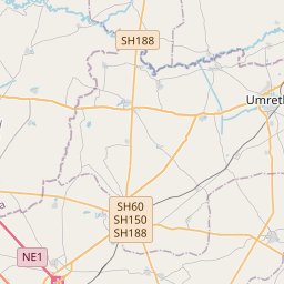
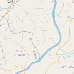
Distance Map Between Dakor and Sojitra
Dakor, Ghandinagar, India ↔ Sojitra, Ghandinagar, India = 31 miles = 50 km.


How far is it between Dākor and Sojītra
Dakor is located in India with (22.7527,73.1497) coordinates and Sojitra is located in India with (22.5388,72.7198) coordinates. The calculated flying distance from Dakor to Sojitra is equal to 31 miles which is equal to 50 km.
If you want to go by car, the driving distance between Dakor and Sojitra is 63.58 km. If you ride your car with an average speed of 112 kilometers/hour (70 miles/h), travel time will be 00 hours 34 minutes. Please check the avg. speed travel time table on the right for various options.
Difference between fly and go by a car is 14 km.
| City/Place | Latitude and Longitude | GPS Coordinates |
|---|---|---|
| Dakor | 22.7527, 73.1497 | 22° 45´ 9.6480'' N 73° 8´ 58.8120'' E |
| Sojitra | 22.5388, 72.7198 | 22° 32´ 19.8240'' N 72° 43´ 11.4240'' E |
Estimated Travel Time Between Dākor and Sojītra
| Average Speed | Travel Time |
|---|---|
| 30 mph (48 km/h) | 01 hours 19 minutes |
| 40 mph (64 km/h) | 00 hours 59 minutes |
| 50 mph (80 km/h) | 00 hours 47 minutes |
| 60 mph (97 km/h) | 00 hours 39 minutes |
| 70 mph (112 km/h) | 00 hours 34 minutes |
| 75 mph (120 km/h) | 00 hours 31 minutes |
Related Distances from Dakor
| Cities | Distance |
|---|---|
| Dakor to Khambhat | 89 km |
| Dakor to Umreth | 7 km |
| Dakor to Kapadvanj | 32 km |
| Dakor to Vadodara | 69 km |
| Dakor to Mahemdavad | 44 km |
Related Distances to Sojitra
| Cities | Distance |
|---|---|
| Anand to Sojitra | 27 km |
| Ahmedabad to Sojitra | 86 km |
| Nadiad to Sojitra | 31 km |
| Khambhat to Sojitra | 33 km |
| Petlad to Sojitra | 13 km |