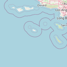
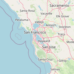
Distance from Compton to Campbell
Distance between Compton and Campbell is 506 kilometers (314 miles).
Driving distance from Compton to Campbell is 575 kilometers (357 miles).
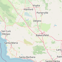
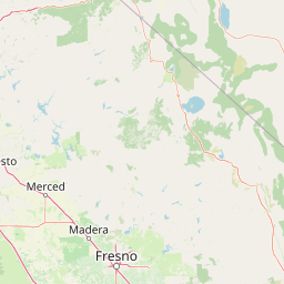
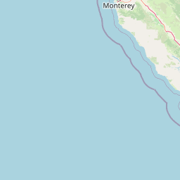
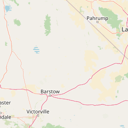
Distance Map Between Compton and Campbell
Compton, Sacramento, United States ↔ Campbell, Sacramento, United States = 314 miles = 506 km.


How far is it between Compton and Campbell
Compton is located in United States with (33.8959,-118.2201) coordinates and Campbell is located in United States with (37.2872,-121.95) coordinates. The calculated flying distance from Compton to Campbell is equal to 314 miles which is equal to 506 km.
If you want to go by car, the driving distance between Compton and Campbell is 575.14 km. If you ride your car with an average speed of 112 kilometers/hour (70 miles/h), travel time will be 05 hours 08 minutes. Please check the avg. speed travel time table on the right for various options.
Difference between fly and go by a car is 69 km.
| City/Place | Latitude and Longitude | GPS Coordinates |
|---|---|---|
| Compton | 33.8959, -118.2201 | 33° 53´ 45.0600'' N 118° 13´ 12.2520'' W |
| Campbell | 37.2872, -121.95 | 37° 17´ 13.8120'' N 121° 56´ 59.8560'' W |
Estimated Travel Time Between Compton and Campbell
| Average Speed | Travel Time |
|---|---|
| 30 mph (48 km/h) | 11 hours 58 minutes |
| 40 mph (64 km/h) | 08 hours 59 minutes |
| 50 mph (80 km/h) | 07 hours 11 minutes |
| 60 mph (97 km/h) | 05 hours 55 minutes |
| 70 mph (112 km/h) | 05 hours 08 minutes |
| 75 mph (120 km/h) | 04 hours 47 minutes |
Related Distances from Compton
| Cities | Distance |
|---|---|
| Compton to Beverly Hills | 39 km |
| Compton to Carson | 14 km |
| Compton to Anaheim | 33 km |
| Compton to Boyle Heights | 23 km |
| Compton to Chino Hills | 56 km |
Related Distances to Campbell
| Cities | Distance |
|---|---|
| San Jose to Campbell | 11 km |
| San Francisco to Campbell | 86 km |
| Fremont to Campbell | 35 km |
| Santa Clara 2 to Campbell | 10 km |
| Stockton to Campbell | 132 km |