Distance from Bonen to Lemgo
Distance between Bonen and Lemgo is 91 kilometers (57 miles).
Driving distance from Bonen to Lemgo is 108 kilometers (67 miles).
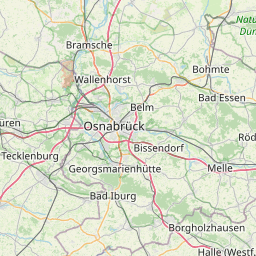
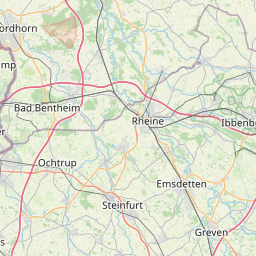
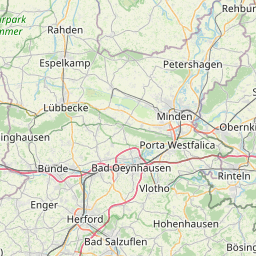
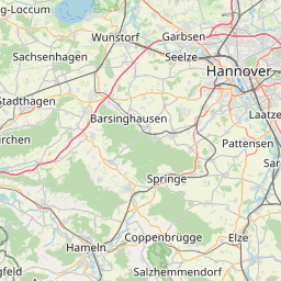
Distance Map Between Bonen and Lemgo
Bonen, Dusseldorf, Germany ↔ Lemgo, Dusseldorf, Germany = 57 miles = 91 km.


How far is it between Bönen and Lemgo
Bonen is located in Germany with (51.6,7.7667) coordinates and Lemgo is located in Germany with (52.0279,8.899) coordinates. The calculated flying distance from Bonen to Lemgo is equal to 57 miles which is equal to 91 km.
If you want to go by car, the driving distance between Bonen and Lemgo is 107.55 km. If you ride your car with an average speed of 112 kilometers/hour (70 miles/h), travel time will be 00 hours 57 minutes. Please check the avg. speed travel time table on the right for various options.
Difference between fly and go by a car is 17 km.
| City/Place | Latitude and Longitude | GPS Coordinates |
|---|---|---|
| Bonen | 51.6, 7.7667 | 51° 36´ 0.0000'' N 7° 46´ 0.0120'' E |
| Lemgo | 52.0279, 8.899 | 52° 1´ 40.2960'' N 8° 53´ 56.4360'' E |
Estimated Travel Time Between Bönen and Lemgo
| Average Speed | Travel Time |
|---|---|
| 30 mph (48 km/h) | 02 hours 14 minutes |
| 40 mph (64 km/h) | 01 hours 40 minutes |
| 50 mph (80 km/h) | 01 hours 20 minutes |
| 60 mph (97 km/h) | 01 hours 06 minutes |
| 70 mph (112 km/h) | 00 hours 57 minutes |
| 75 mph (120 km/h) | 00 hours 53 minutes |
Related Distances from Bonen
| Cities | Distance |
|---|---|
| Bonen to Dortmund | 33 km |
| Bonen to Bonn | 140 km |
| Bonen to Langenfeld | 99 km |
| Bonen to Hagen | 45 km |
| Bonen to Hamm | 13 km |
Related Distances to Lemgo
| Cities | Distance |
|---|---|
| Bielefeld to Lemgo | 29 km |
| Bonn to Lemgo | 236 km |
| Detmold to Lemgo | 13 km |
| Dortmund to Lemgo | 133 km |
| Duisburg to Lemgo | 188 km |