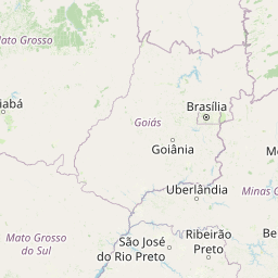
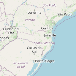
Distance from Avare to Tupa
Distance between Avare and Tupa is 208 kilometers (129 miles).
Distance Map Between Avare and Tupa
Avare, Sao Paulo, Brazil ↔ Tupa, Sao Paulo, Brazil = 129 miles = 208 km.


Leaflet | © OpenStreetMap
How far is it between Avaré and Tupã
Avare is located in Brazil with (-23.0986,-48.9258) coordinates and Tupa is located in Brazil with (-21.9347,-50.5136) coordinates. The calculated flying distance from Avare to Tupa is equal to 129 miles which is equal to 208 km.
| City/Place | Latitude and Longitude | GPS Coordinates |
|---|---|---|
| Avare | -23.0986, -48.9258 | 23° 5´ 54.9960'' S 48° 55´ 32.9880'' W |
| Tupa | -21.9347, -50.5136 | 21° 56´ 4.9920'' S 50° 30´ 48.9960'' W |
Avare, Sao Paulo, Brazil
Related Distances from Avare
| Cities | Distance |
|---|---|
| Avare to Guarulhos | 278 km |
| Avare to Bauru | 125 km |
| Avare to Mogi Mirim | 262 km |
| Avare to Itapetininga | 155 km |
| Avare to Lorena | 449 km |
Tupa, Sao Paulo, Brazil
Related Distances to Tupa
| Cities | Distance |
|---|---|
| Ituiutaba to Tupaciguara | 142 km |
| Dom Pedrito to Tupancireta | 370 km |
| Sao Borja to Tupancireta | 323 km |
| Indaiatuba to Tupa | 483 km |
| Palmeira Das Missoes to Tupancireta | 163 km |