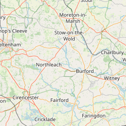
Distance from High Wycombe to Witham
Distance between High Wycombe and Witham is 98 kilometers (61 miles).
Driving distance from High Wycombe to Witham is 133 kilometers (83 miles).
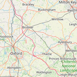
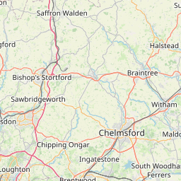
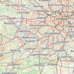
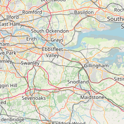
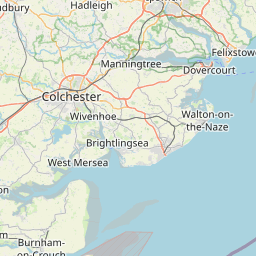
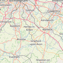
Distance Map Between High Wycombe and Witham
High Wycombe, London, United Kingdom ↔ Witham, London, United Kingdom = 61 miles = 98 km.

How far is it between High Wycombe and Witham
High Wycombe is located in United Kingdom with (51.6291,-0.7493) coordinates and Witham is located in United Kingdom with (51.8001,0.6404) coordinates. The calculated flying distance from High Wycombe to Witham is equal to 61 miles which is equal to 98 km.
If you want to go by car, the driving distance between High Wycombe and Witham is 132.9 km. If you ride your car with an average speed of 112 kilometers/hour (70 miles/h), travel time will be 01 hours 11 minutes. Please check the avg. speed travel time table on the right for various options.
Difference between fly and go by a car is 35 km.
| City/Place | Latitude and Longitude | GPS Coordinates |
|---|---|---|
| High Wycombe | 51.6291, -0.7493 | 51° 37´ 44.6520'' N 0° 44´ 57.6240'' W |
| Witham | 51.8001, 0.6404 | 51° 48´ 0.2520'' N 0° 38´ 25.3680'' E |
Estimated Travel Time Between High Wycombe and Witham
| Average Speed | Travel Time |
|---|---|
| 30 mph (48 km/h) | 02 hours 46 minutes |
| 40 mph (64 km/h) | 02 hours 04 minutes |
| 50 mph (80 km/h) | 01 hours 39 minutes |
| 60 mph (97 km/h) | 01 hours 22 minutes |
| 70 mph (112 km/h) | 01 hours 11 minutes |
| 75 mph (120 km/h) | 01 hours 06 minutes |
Related Distances from High Wycombe
| Cities | Distance |
|---|---|
| High Wycombe to City Of London | 54 km |
| High Wycombe to Reading | 32 km |
| High Wycombe to Oxford | 50 km |
| High Wycombe to Milton Keynes | 61 km |
| High Wycombe to Marlow | 8 km |
Related Distances to Witham
| Cities | Distance |
|---|---|
| Chelmsford to Witham | 16 km |
| Southend On Sea to Witham | 44 km |
| Basildon to Witham | 42 km |
| Colchester to Witham | 24 km |
| Cambridge to Witham | 81 km |